 Before You Start:
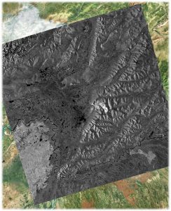
This lab summarizes the material learned in Lectures 8 – 10 and puts them to good use. We will apply the theory of SAR focusing from Lecture 8 to process a ALOS PALSAR L-band SAR image over Fairbanks, AK using the NASA/JPL-produced ISCE software. We will also geocode SAR images using both ISCE and the ASF-released MapReady software.
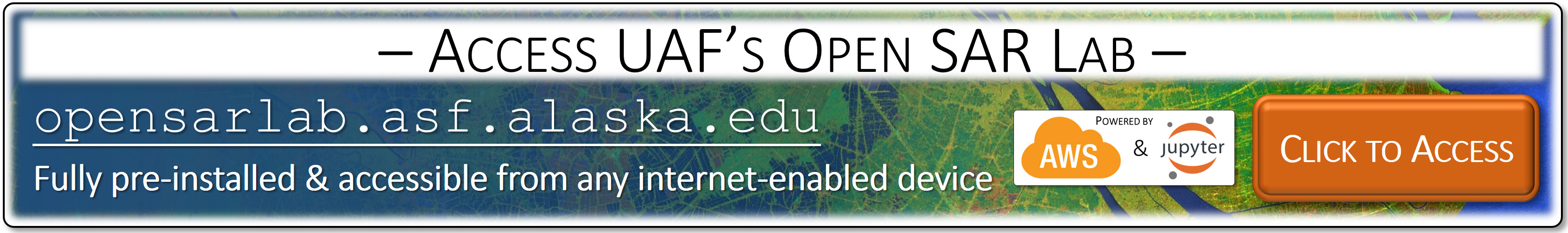
All the data processing in this lab will be done within a cloud-based Open SAR Lab, which is accessible to you at opensarlab.asf.alaska.edu (see below). The lab is implemented within the Amazon Web Services (AWS) cloud and is accessible to you from any device with internet connection and a web browser. The lab environment comes pre-installed with all required software tools and is ready for your use without additional software installation.
All lab instructions and data processing is organized within the framework of Jupyter Notebooks. The Jupyter Notebook environment is easy to launch in any web browser for interactive data exploration with provided or new training data. Notebooks are comprised of text written in a combination of executable python code and markdown formatting including latex style mathematical equations. Another advantage of Jupyter Notebooks is that they can easily be expanded, changed, and shared with new data sets or newly available time series steps. Therefore, they provide an excellent basis for collaborative and repeatable data analysis.
A 2019 live recording of this lab can be found here.
 Accessing the Open SAR Lab and Completing the Lab Exercise
To access and complete the Open SAR Lab exercise, please follow these steps:
- Access the Open SAR Lab at opensarlab.asf.alaska.edu
- Log in with your username and password (contact me should you need login credentials).
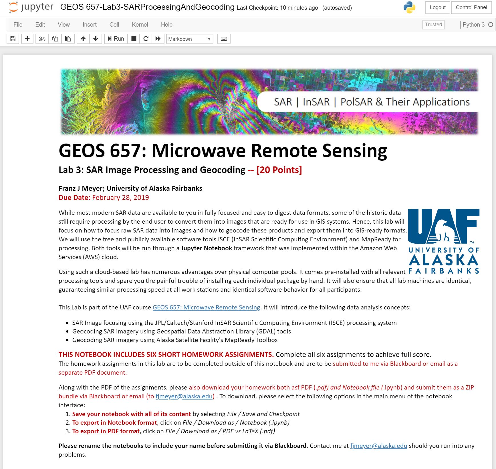
- Start the Juypter Notebook (GEOS 657-Lab3-SARProcessingAndGeocoding.ipynb). A screenshot of the Notebook opened in your Jupyter console is shown to the right.
- Complete the notebook and the lab assignments.
- Submit your assignments as instructed in the notebook.
Goals of this Lab:
While most modern SAR data are available to you in fully focused and easy to digest data formats, some of the historic data do still require processing by the end user to convert them into images that are ready for use in GIS systems. Hence, this lab will focus on how to focus raw SAR data into images and how to geocode these products and export them into GIS-ready formats. We will use the free and publicly available software tools ISCE (InSAR Scientific Computing Environment) and MapReady for processing.
The University of Alaska Fairbanks is an AA/EO employer and educational institution and prohibits illegal discrimination against any individual: Learn more about UA’s notice of nondiscrimination.