 Before you Start:
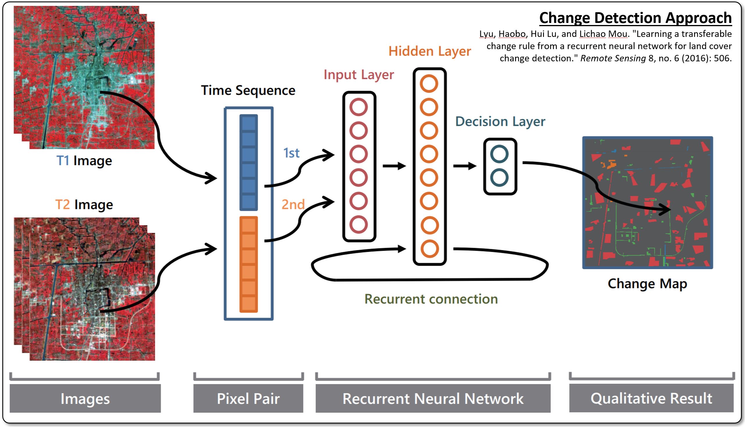
This lab will put some of the concepts learned in Lecture 15 into practice. We will use a Convolutional Recurrent Neural Network to perform change detection using multi-temporal remote sensing data over the city of Taizhou, China. As more labeled training data exist for optical imagery, the data used in this lab are multi-spectral datasets acquired by the Landsat 7 Enhanced Thematic Mapper Plus (ETM+) sensor with six bands and a spatial resolution of 30 m. The two images are both 400 × 400 pixels in size and show significant changes mainly related to city expansion, soil change, and varying water areas. A schematic sketch of the applied change detection technique is shown to your right.
Like the previous lab, this exercise is done within UAF’s cloud-based Open SAR Lab, which is accessible to you at opensarlab.asf.alaska.edu. The lab is implemented within the Amazon Web Services (AWS) cloud and uses Jupyter Notebooks as instructional method.
 Accessing the Open SAR Lab and Completing the Lab Exercise
To access and complete the Open SAR Lab exercise, please follow these steps:
- Access the Open SAR Lab at opensarlab.asf.alaska.edu
- Log in with your username and password (contact me should you need login credentials).
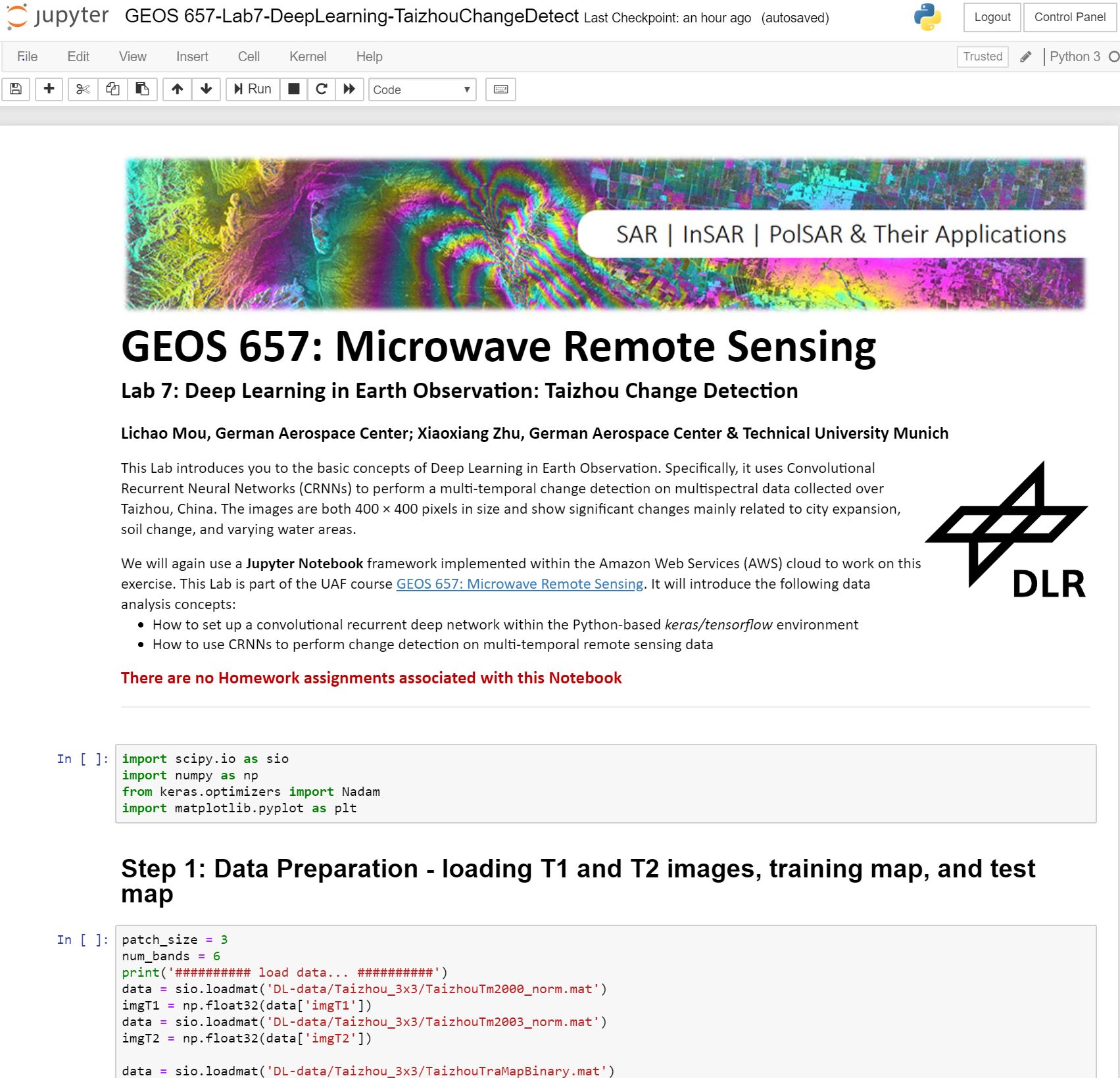
- Start the Juypter Notebook (GEOS 657-Lab7-ChangeDetectionWithCRNNs.ipynb). A screenshot of the Notebook opened in your Jupyter console is shown to the right.
- Complete the notebook and the lab assignments.
- Submit your assignments as instructed in the notebook.
Goals of this Lab:
This labs will introduce you to the concepts of Deep Learning in Earth Observation and to the usage of public domain deep learning techniques for change detection.
The University of Alaska Fairbanks is an AA/EO employer and educational institution and prohibits illegal discrimination against any individual: Learn more about UA’s notice of nondiscrimination.

