Module II of this course will introduce you to different methods for generating two-dimensional images from microwave observations. Both, passive and active microwave sensors with there associated image formation techniques will be covered. For each technique, the properties and limitations of the resulting image product will be discussed and potential applications of these products will be assessed.
Lecture 6: Atmospheric Sounding Using Passive Microwave Systems
Synopsis:
Despite of its apparent geometrical insignificance relative to the size of Earth itself, the atmosphere is — obviously — essential to life on this planet. Besides providing oxygen to breath, processes in the atmosphere determine the amount of incoming light and regulate climate. Recent human activities in addition to other natural processes have been changing the delicate balance of processes in the atmosphere, resulting in partially dramatic effects on the environment. It is therefore essential to carefully monitor the distribution and change of atmospheric constituents to help us understand interactions between the atmosphere an the physical world. This lecture provides you with some information on how microwave sensors can contribute to the analysis of the atmosphere.
Preparatory Reading in (Woodhouse, 2006):
Please read Chapter 7 “Atmospheric Sounding” in (Woodhouse, 2006) in preparation for this lecture. Specifically focus on the pages 179-186 and 200-202 in your preparation. The first range of pages provides some insight into the main atmospheric constituents that can be sensed by microwave systems. The second set of pages introduces you to the concepts of monitoring rain rates using microwave sensors.
— LECTURE NOTES AVAILABLE TO REGISTERED STUDENTS —
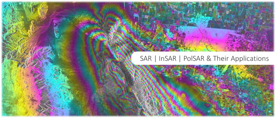
Lecture 7: Active Microwave Systems
Synopsis:
While Lecture 6 dealt with the measurement of passive emissions at microwave frequencies, we now shift gears and look at systems that actively generate and transmit energy. Through the measurement of travel time, active systems can not only measure the properties of a returned echo (e.g., intensity and polarization) but also its distance and, through that, the direction from which backscattered responses arrived. We will distinguish three types of active sensors: (1) We will first discuss altimeters, which are sensors that mostly focus on accurately measuring the range between a satellite and the ground; we will distinguish these from (2) scatterometers, which focus on precisely recording the properties of the returned echo rather than its range; finally (3) we will discuss imaging radars as systems that provide both a gridded representation of surface reflectance properties and information on the range to each of these grid points. Lecture 7 will mostly focus on the first two of these three categories.
Preparatory Reading in (Woodhouse, 2006):
Please read Chapter 9 “Active Microwaves” in (Woodhouse, 2006) in preparation for this lecture. Specifically focus on the pages 221-250 of this chapter.
— LECTURE NOTES AVAILABLE TO REGISTERED STUDENTS —

Lecture 8: Imaging Radar Concepts [Incl. Real & Synthetic Aperture Radars (SARs)]
Synopsis:
In Lecture 7 we saw that active microwave systems (so called radar systems) have the capability to measure the distance between objects and/or the scattering characteristics of objects with high accuracy and, most importantly, independent of solar illumination. In this lecture we will now focus on techniques that allow us to use radar systems to generate high resolution two-dimensional images of an observed surface.
Preparatory Reading in (Woodhouse, 2006):
In preparation for this lecture, please read Chapter 10 “Imaging Radar” in (Woodhouse, 2006). Specifically focus on pages 259-281.
— LECTURE NOTES AVAILABLE TO REGISTERED STUDENTS —

Lecture 9: SAR [Geometric Distortions, Speckle, Geocoding]
Synopsis:
If you have ever looked at a radar image, you may have noticed two prominent “artifacts” that are characteristic for these data. Topographic features such as buildings and mountain sides typically look like they are leaning toward the sensor, with their sensor-facing sides foreshortened. Additionally, radar images often have a “grainy” noise-like appearance, hiding some of the more detailed image content. We will discuss the sources of both distortion types and will determine methods for their correction.
Preparatory Reading in (Woodhouse, 2006):
In preparation for this lecture, please read pages 281-300 of Chapter 10 “Imaging Radars” in (Woodhouse, 2006). These pages describe the sources of geometric and radiometric distortions in SAR images and provide some information on how these can be corrected.
— LECTURE NOTES AVAILABLE TO REGISTERED STUDENTS —
Lecture 10: SAR [Acquisition Modes, Available SAR Sensors, How to Get Data]
Synopsis:
In this final lecture of Module II, we will look at different ways how the imaging radar concept can be realized. Specifically, we will introduce the popular imaging concepts Stripmap, ScanSAR, Spotlight, TOPS, and SweepSAR. I will also introduce you to the suite of historic, current, and future SAR sensors that will be available to you for studying the current state and the evolution of our planet. Finally, we will look at a few user interfaces through which these enormous SAR image archives can be accessed.
— LECTURE NOTES AVAILABLE TO REGISTERED STUDENTS —