 Project Description:
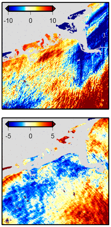
InSAR image pixels are correlated as a function of distance due to atmospheric delay. If ignored, this correlation can cause significant biases when using InSAR data in geodetic inversion problems. Often, the InSAR covariance is modeled as an exponential function that is decaying with distance. In theory, the parameters of this exponential function can be determined by fitting variograms to interferogram areas that are free of geophysical deformation signals. This approach fails for many volcanic islands, as most of their coherent areas are affected by surface deformation. Hence, this project is attempting to develop an iterative approach to estimating InSAR covariance information for volcano islands.
The proposed solution is a multi-step approach that is organized in the following sequence: (1) Invert the volcanic source model without including covariance information; (2) fit variogram to the residual to determine first order covariance information; (3) re-do the source model inversion including covariance information; (4) Repeat (2)-(3) until the parameters converge; (4) use final iteration to compute final parameters for noise covariance and source model. Within this project, the algorithm will be implemented and tested on synthetic data.
Student Leading the Project:
Xueming Xue, University of Alaska Fairbanks
