Project Description:
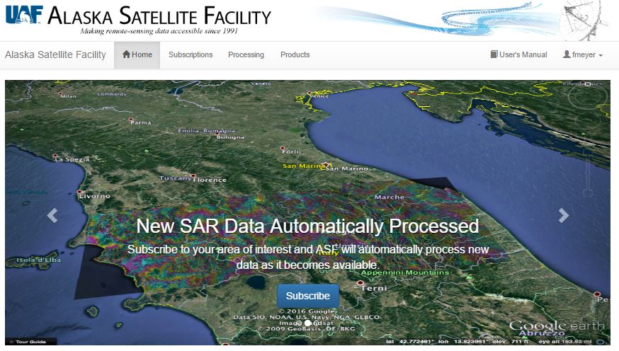
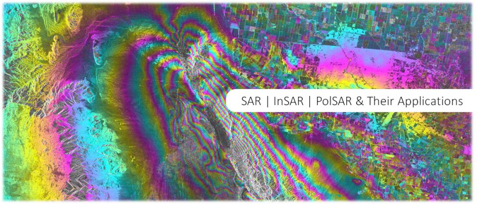
This project will work in collaboration with the Alaska Satellite Facility (ASF) to integrate the hazard monitoring-relevant SAR techniques InSAR and RTC processing into ASF’s cloud-based processing engine Hyp3. Once integrated, this hazard monitoring work flow can be invoked (either manually or using an automatic trigger) to produce deformation maps and change detection maps for a range of natural hazard events. It is the goal of the project to then share generated hazard product with the public via a standalone web interface.
The project goals include: (1) Integrate already available automatic processing flows for InSAR processing and Radiometric Terrain Correction (RTC) within Hyp3; (2) connect these workflows with external hazard triggers such as the USGS earthquake notification service; (3) store produced InSAR and RTC products in a local archive; and (4) share these products with the world via a web-interface.
Student Leading the Project:
Matthew Whitley, University of Alaska Fairbanks

