
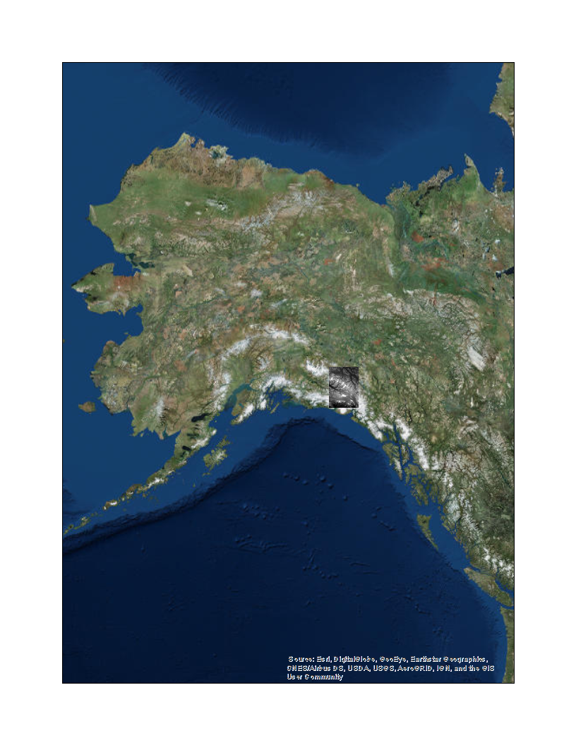

I have acquired a digital elevation model (DEM) for an area containing the Steele and Walsh Glaciers. The DEM appears in both maps as a gray-scale patch with higher elevations depicted with brighter pixels. In the zoomed map, the Steele and Walsh Glaciers are denoted with red and green curves, respectively, overlaid on the DEM.